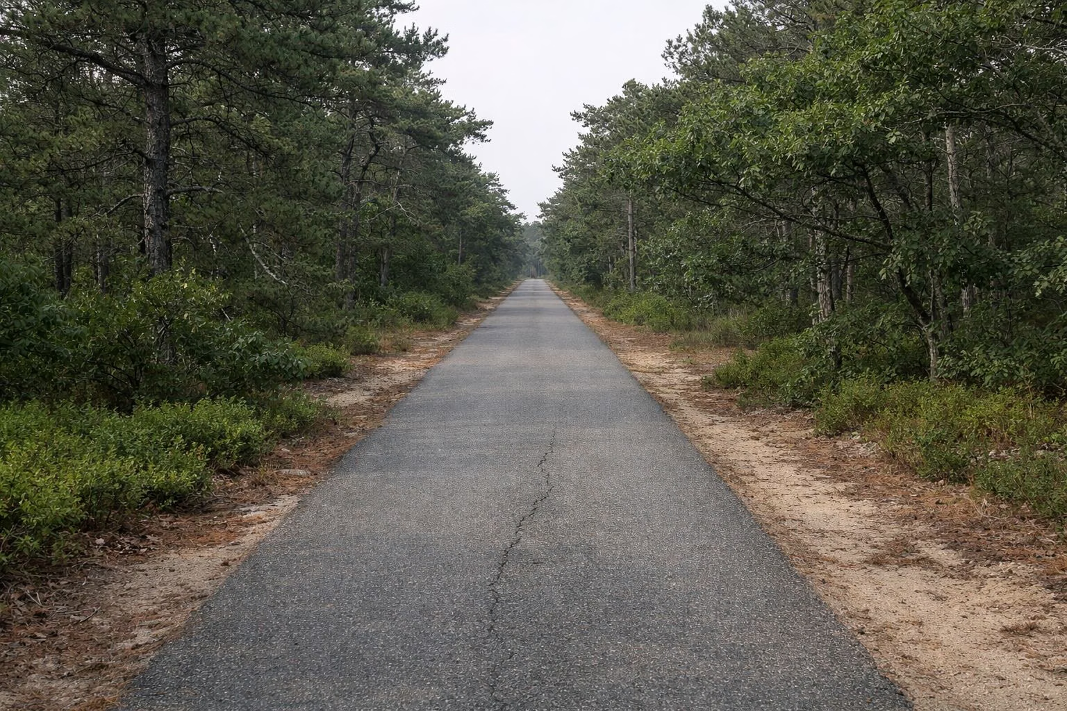
Cape Cod Rail Trail Map
The official Cape Cod Rail Trail map is a free PDF from DCR, the state agency that runs the trail. Download it from mass.gov. It's a one-page kiosk map that shows the whole trail from South Yarmouth to Wellfleet, with mile markers, parking lots, restrooms and picnic areas.
The map dates from 2017. The trail itself hasn't moved since, but the short newest section past LeCount Hollow Road in Wellfleet is easier to follow on the ground than on the map. Use this page to read the map quickly, then check the lot you want on our parking page.
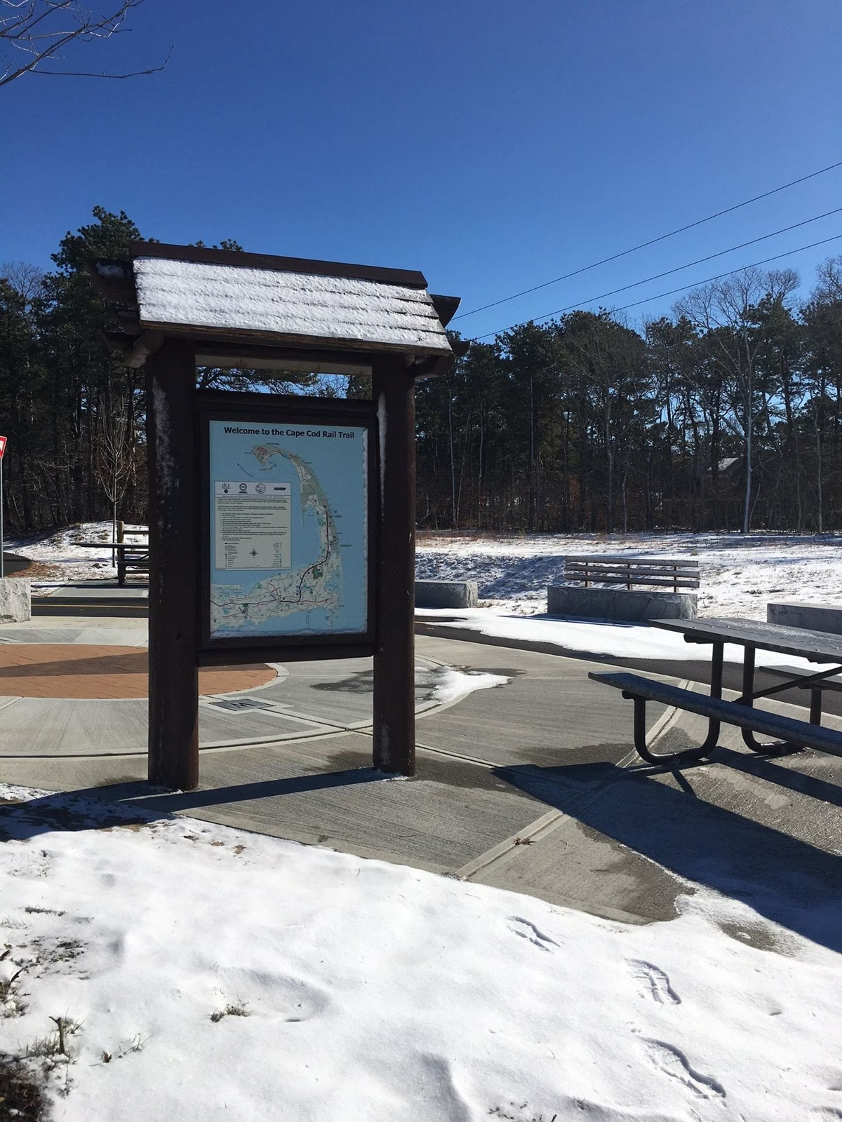
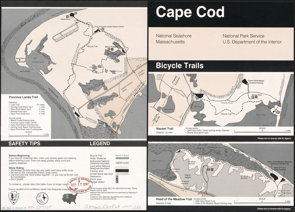
DCR's Trail Map at a Glance
How to Read DCR's Rail Trail Map
The map is drawn at 1:54,000, so one inch is about 4,500 feet, a little under a mile. The legend lists what each line and symbol means:
- Cape Cod Rail Trail: the main trail line, with numbered mile markers along it.
- Other bike trail and other bike trail (on-road): connecting paths such as the Old Colony Rail Trail and the National Seashore trails, and the on-road links between them.
- Proposed bike trail: sections that were planned when the map was made. Treat these as not built unless a current source says otherwise.
- Claire Saltonstall Bikeway: the long regional on-road bike route that the rail trail is part of.
- Parking, restroom, picnic area and park building symbols at the trailheads.
- Tunnel and bridge symbols where the trail passes under or over roads.
Mile Markers on the Map
The mile markers on the map run from 0 near South Dennis to 22 in Wellfleet, near the National Seashore headquarters at Marconi. Markers below 0 continue west toward Yarmouth. That numbering is why older guides call this a 22-mile trail. Our mileage page turns the markers into town-to-town distances.
What the Map Shows Beyond the Trail
The map covers most of the Outer Cape, so you'll also see Nickerson State Park in Brewster, the Salt Pond Visitor Center in Eastham, the Marconi Station Site in Wellfleet and the roads toward Truro and Provincetown. Nickerson's own bike paths are on DCR's separate park map; see Nickerson State Park.
You'll also notice small numbers printed beside some lots. They are DCR's parking space counts. The PDF lists them, but they're small and easy to misread, so call DCR if the size of a lot matters to you.
Printing It, or Using It on Your Phone
The PDF is a large single sheet. On a phone, open it in a PDF viewer and zoom; it stays sharp. To print, fit it to a large page or print the section you need.
Other Official Maps for Cape Bike Trails
- National Park Service bike trails map for the Nauset, Head of the Meadow and Province Lands trails: NPS bike trail map (PDF).
- The Old Colony Rail Trail (8 miles to Chatham) appears on DCR's map as a connecting trail at the Harwich rotary.
- The Town of Falmouth publishes a bikeways map that includes the Shining Sea Bikeway.
- The Army Corps of Engineers posts a recreation map for the Cape Cod Canal service roads.
Getting a Paper Map
DCR doesn't say it sells a printed rail trail map. The trail is run from the Nickerson State Park office (3488 Main St., Brewster, MA 02631, (508) 896-3491); call ahead if you want to know what's on hand. Some rental shops post their own trail maps online; Orleans Cycle links one from its home page. Current trail details are on DCR's rail trail page.
Trail Map FAQ
Is there a printable Cape Cod Rail Trail map?
Yes. DCR publishes a free one-page PDF of the whole trail, linked from its Cape Cod Rail Trail page on mass.gov. It shows mile markers, parking, restrooms and picnic areas.
Does the rail trail map show parking?
Yes. Parking symbols mark the trailhead lots, with small space counts beside some of them. The full lot list, town by town, is on our parking page.
Why does the map say 22 miles when the trail is 25 or 26?
The mile markers run 0 to 22, from South Dennis to Wellfleet. The trail now also runs west into Yarmouth and about a mile farther in Wellfleet, which makes 25 to 26 miles.
Is there a map of all the bike trails on Cape Cod?
Not one official map for everything. DCR covers the rail trail, the National Park Service covers the three National Seashore bike trails, Falmouth covers the Shining Sea Bikeway, and the Army Corps covers the canal.