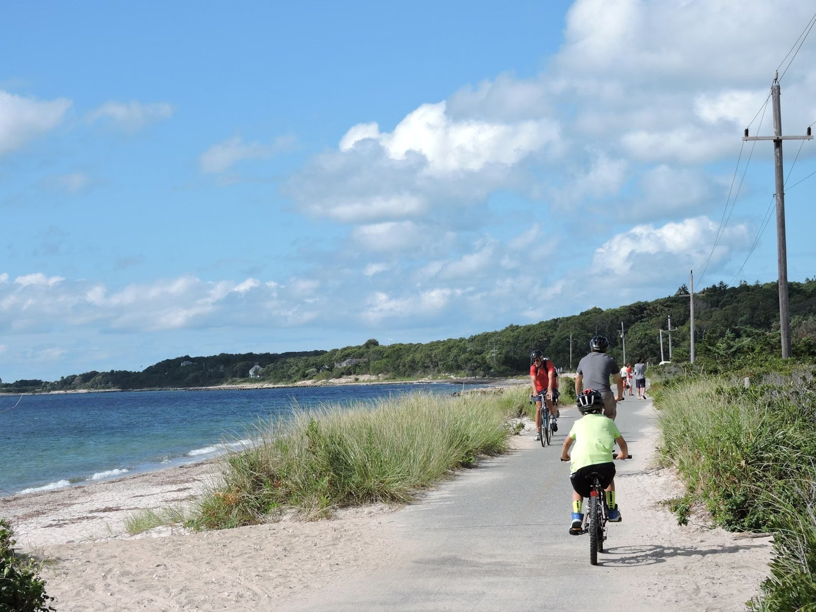
Shining Sea Bikeway
The Shining Sea Bikeway is a 10.7-mile paved path in Falmouth, from Woods Hole on Vineyard Sound to County Road in North Falmouth on Buzzards Bay. It is not part of the Cape Cod Rail Trail. It's a separate rail trail run by the Town of Falmouth, on the Upper Cape, west of where the rail trail begins in Yarmouth.
The town calls it the only bikeway on Cape Cod that runs alongside the sea. That's the reason people choose it over the longer, inland Cape Cod Rail Trail: water views across salt marshes, beaches and open bays for much of the ride.
Shining Sea Bikeway at a Glance
Shining Sea Bikeway Parking
The Town of Falmouth's directions name two lots built for the bikeway:
- County Road, North Falmouth (northern end). From the Bourne Bridge, leave Route 28 at Route 151 and turn left (west). Go straight through the light at Route 28A, where the road becomes County Road. Cross the railroad tracks and turn right into the lot. The bikeway starts across County Road.
- Depot Avenue, Falmouth village. Stay on Route 28 into Falmouth village and turn right on Depot Avenue. The lot is past the Enterprise newspaper building, right beside the bikeway.
The town doesn't publish a fee or capacity for either lot. In August, when searches for this trail peak at nearly three times the yearly average, arrive early. Full directions from Boston, Worcester and New York are on Falmouth's directions page.
The southern end is in Woods Hole. Falmouth's directions don't name a bikeway lot there, so start at one of the two lots above and ride to Woods Hole.
What You'll See, Mile by Mile
The town's description of the route is tied to its mile markers. Some highlights, south to north:
- The southern 3 miles: views across Vineyard Sound. Near mile marker 2 you can see Martha's Vineyard, and there's a kettle pond called Oyster Pond.
- Near mile marker 4: the stretch between Depot Avenue and Ter Heun Drive is cut into the edge of a glacial moraine.
- Near mile marker 5: large glacial boulders beside the path, and an Atlantic white cedar swamp.
- Mile markers 5 to 7: views west over Buzzards Bay, with osprey nesting platforms.
- Just north of mile marker 6: an elevated causeway across Great Sippewissett Marsh, which the town calls one of the most studied salt marshes in the world.
- Near mile marker 7, West Falmouth: a second Oyster Pond, with an overlook deck.
History and the Name
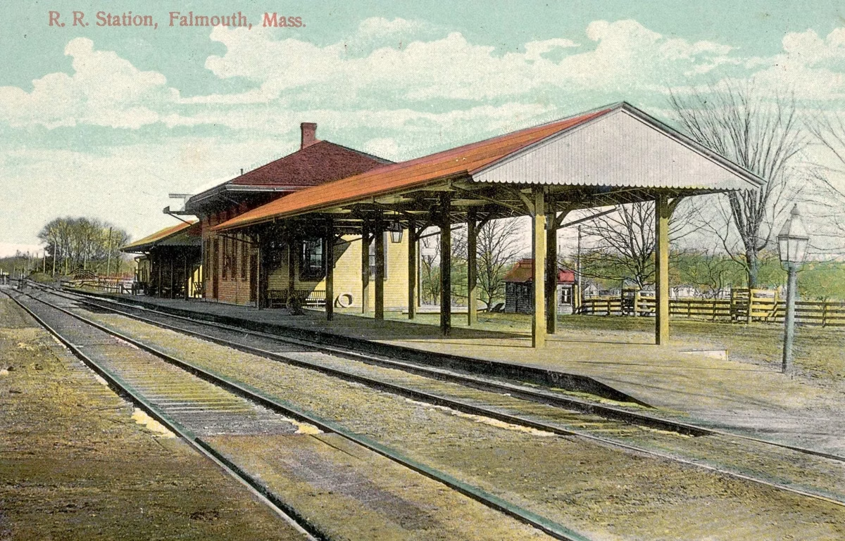
The bikeway follows the bed of the New York, New Haven and Hartford Railroad, which ran trains to Woods Hole from 1872 to 1965. It was dedicated in 1975 as a bicentennial project, making it one of America's first 500 rail trails, and grew in four phases to its current length. The last was the extension to North Falmouth in 2009.
The name honors Katharine Lee Bates, born in Falmouth in 1859, who wrote "America the Beautiful" with its line "from sea to shining sea." That's why people also search for it as the "sea to shining sea bike path."
Shining Sea Bikeway vs. the Cape Cod Rail Trail
- Length: 10.7 miles here, about 25 on the Cape Cod Rail Trail.
- Scenery: sea views for much of the Shining Sea; the rail trail is mostly woods, ponds and towns, with marsh views on the Outer Cape.
- Location: Falmouth, on the Upper Cape; the rail trail runs from Yarmouth to Wellfleet on the Mid and Lower Cape.
- Who runs it: the Town of Falmouth here; the state's DCR for the rail trail.
If you only have a morning and want the ocean, the Shining Sea is the better fit. For a full day with lots of places to stop, ride the Cape Cod Rail Trail. Every Cape path is compared on our Cape Cod bike trails page.
Good For, and Maybe Skip If
- Good for: ocean views, birding (ospreys and herons), and walkers, joggers and skaters as well as cyclists. In winter the town lists cross-country skiing.
- Maybe skip it if you want a long, uninterrupted ride: at 10.7 miles one way it's less than half the rail trail. The Cape Cod Canal path nearby is another flat option.
- Watch for poison ivy at the edges; the town warns about it.
Who to Contact
The Shining Sea Bikeway is the Town of Falmouth's. Its Bicycle and Pedestrian Committee posts the route, an etiquette guide and a town bikeways map on falmouthma.gov (Town Hall, 508-548-7611).
Shining Sea Bikeway FAQ
How long is the Shining Sea Bikeway?
10.7 miles (17.2 km), from Woods Hole to County Road in North Falmouth, according to the Town of Falmouth.
Where do you park for the Shining Sea Bikeway?
At the County Road lot in North Falmouth (the northern end) or the Depot Avenue lot in Falmouth village, right beside the path. Falmouth's directions don't name a bikeway lot in Woods Hole.
Is the Shining Sea Bikeway part of the Cape Cod Rail Trail?
No. It's a separate trail in Falmouth run by the town. The Cape Cod Rail Trail runs from Yarmouth to Wellfleet and is run by the state's DCR.
Is the Shining Sea Bikeway paved?
Yes. The Town of Falmouth describes it as a paved, multi-use trail for cycling, walking, jogging, skating and cross-country skiing.
Why is it called the Shining Sea Bikeway?
It honors Katharine Lee Bates, born in Falmouth in 1859, who wrote "America the Beautiful," with its line "from sea to shining sea."
Can you see the ocean from the Shining Sea Bikeway?
Yes. The southern 3 miles look over Vineyard Sound, and from mile markers 5 to 7 you look west over Buzzards Bay. The town calls it the only Cape Cod bikeway that runs alongside the sea.