Cape Cod Canal Bike Path
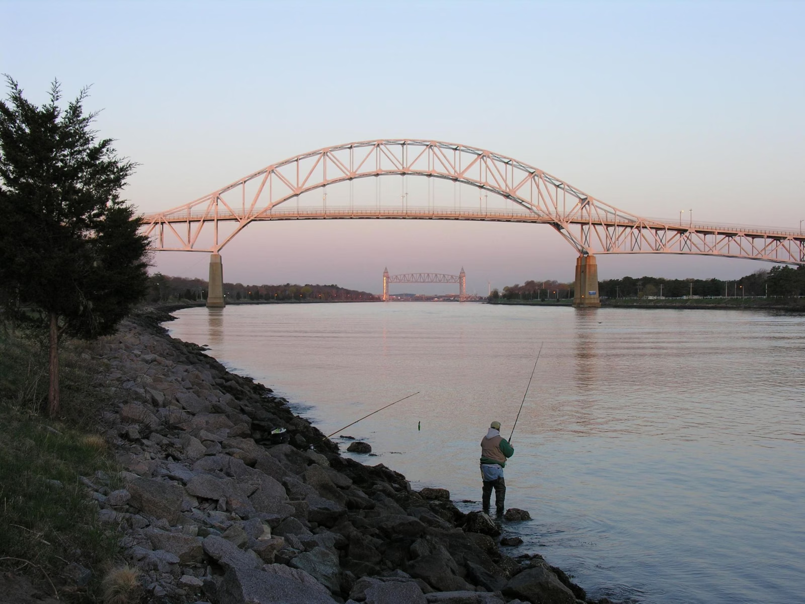
The Cape Cod Canal bike path is really two paved service roads, one on each bank of the canal: the North Service Road (7 miles) and the South Service Road (6.5 miles). The U.S. Army Corps of Engineers runs them and opens them to walkers, joggers, cyclists and people fishing. They're flat and run right along the water, with a close-up view of passing ships.
The canal path is in Bourne and Sandwich, where the Cape meets the mainland. It isn't connected to the Cape Cod Rail Trail, which starts farther east in Yarmouth.

Canal Bike Path at a Glance
Cape Cod Canal Bike Path Parking
The Corps operates several recreation areas along both sides of the canal. Each has parking, restrooms and picnic areas, and the ones with service road access have seasonal trash cans. The Corps doesn't list a parking fee on its recreation page. Its recreation map, linked from the Corps' Cape Cod Canal page, shows where each area is and what it has.
Flush toilets are open daily from mid-April through Columbus Day weekend. After that, portable toilets are available at most locations. Midway Recreation Area, a wooded spot with picnic tables, charcoal grills and a group pavilion, is open Memorial Day weekend through Columbus Day weekend.
Which Side Should You Ride?
- North side (7 miles): the mainland bank. The Bournedale Hills walking trail runs 1.4 miles along this side, and Scusset Beach State Reservation is at the east end, with a swimming beach and a fishing pier.
- South side (6.5 miles): the Cape bank, in Bourne and Sandwich. The Corps' free Cape Cod Canal Visitor Center is near the east end in Sandwich.
Both are paved, flat and next to the water. Riding one side end to end and back is roughly 13 to 14 miles.
What You'll See
The canal is a 17.4-mile shipping channel that about 15,000 vessels use each year. From the service roads you see tugs, cargo ships, car carriers, cruise ships and yachts up close. The Corps calls the ship watching one of the canal's draws, alongside fishing, picnicking and biking. More than 3 million people visit each year.
Cape Cod Canal Visitor Center
The visitor center at 60 Ed Moffitt Drive in Sandwich is free and run by the Corps. Exhibits include a retired 40-foot patrol boat you can board, live radar and cameras of ships in the canal, and a virtual tugboat. In 2026 it was open May 1 to October 25, 10 a.m. to 5 p.m., closed Mondays. Phone 508-833-9678.
Rules on the Service Roads
- These are working service roads. The Corps publishes service road safety guidelines and a separate list of which motorized vehicles, including e-bikes, are allowed. Read both before riding an e-bike.
- Pack it in, pack it out. Benches line the roads; trash cans are at the recreation areas in season.
- Fishing from the banks is allowed on federal property, with exceptions near the field office and the bridges. A Massachusetts saltwater fishing permit applies.
- Swimming and scuba diving in the canal are prohibited because of the swift current.
Good For, and Maybe Skip If
- Good for beginners and kids: flat, wide, paved and car-free.
- Maybe skip it if you want shade or towns to stop in: the service roads are open to sun and wind with few services. The Cape Cod Rail Trail passes through town centers, and the Shining Sea Bikeway mixes woods and sea.
Canal Bike Path FAQ
How long is the Cape Cod Canal bike path?
There are two paths, one on each bank. The North Service Road is 7 miles and the South Service Road is 6.5 miles, according to the Army Corps of Engineers.
Where do you park for the Cape Cod Canal bike path?
At the Army Corps recreation areas on both sides of the canal. Each has parking, restrooms and picnic areas; the Corps' recreation map shows them.
Is the Cape Cod Canal bike path paved?
Yes. Both are paved, water-side service roads open to the public for walking, jogging, cycling and fishing access.
Are e-bikes allowed on the Cape Cod Canal service roads?
The Army Corps posts a separate page listing which motorized vehicles are permitted and prohibited on the service roads. Check it before you ride an e-bike there.
Can you swim in the Cape Cod Canal?
No. Swimming and scuba diving are prohibited because of the swift current. Scusset Beach State Reservation, at the canal's east end, has a swimming beach.