Cape Cod Rail Trail —
Your Complete Guide
25 to 26 paved miles through seven Cape towns, from South Yarmouth to South Wellfleet.
What is the Cape Cod Rail Trail?
The Cape Cod Rail Trail is a free, paved bike and walking path that runs 25 to 26 miles across Cape Cod, from Station Avenue in South Yarmouth to LeCount Hollow Road in South Wellfleet.It passes through Yarmouth, Dennis, Harwich, Brewster, Orleans, Eastham and Wellfleet on the bed of an old railroad, so it's mostly flat. The state's Department of Conservation and Recreation (DCR) runs it from the Nickerson State Park office in Brewster, and it's open sunrise to sunset every day.
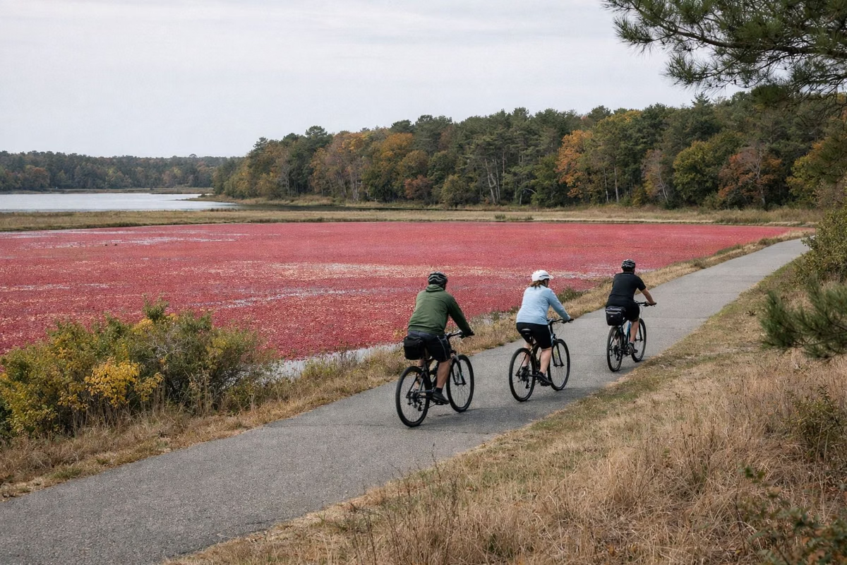
The trail opened in 1981 as a 19-mile path from Dennis to Eastham and has been extended at both ends since. Along the way it passes kettle ponds, cranberry bogs, pine woods and salt marsh, runs through downtown Orleans, and comes within half a mile of the Cape Cod National Seashore's Salt Pond Visitor Center in Eastham.
Most people don't ride the whole thing. They park at one of DCR's free lots, ride 5 to 10 miles out and come back. The pages below help you choose a stretch, find a lot and a rental shop, and know the rules before you go.
The Cape Cod Rail Trail at a Glance
What You Need for a Rail Trail Day
Where to park, where to rent, what the map shows, and the side trips most riders add.

Bike Rentals
Shops beside the trail in Yarmouth, Dennis, Harwich, Brewster and Orleans rent bikes, e-bikes and trailers.
Rentals by Town →
Parking & Trailheads
Eight free DCR lots from Station Avenue in Yarmouth to LeCount Hollow Road in Wellfleet, plus a paid lot at Nickerson.
All Lots →
Trail Map
DCR's free PDF map with mile markers, parking, restrooms and connecting trails, and how to read it.
Official Map →
Nickerson State Park
Paved paths through 8 miles of woods and kettle ponds in Brewster, plus camping beside the trail.
Park Bike Paths →
Old Colony to Chatham
A 8-mile branch from the Harwich bike rotary to Chatham center.
Old Colony Rail Trail →
Other Cape Bike Trails
The Shining Sea Bikeway, Canal path and the three National Seashore trails, side by side.
Compare Them →The Trail From West to East
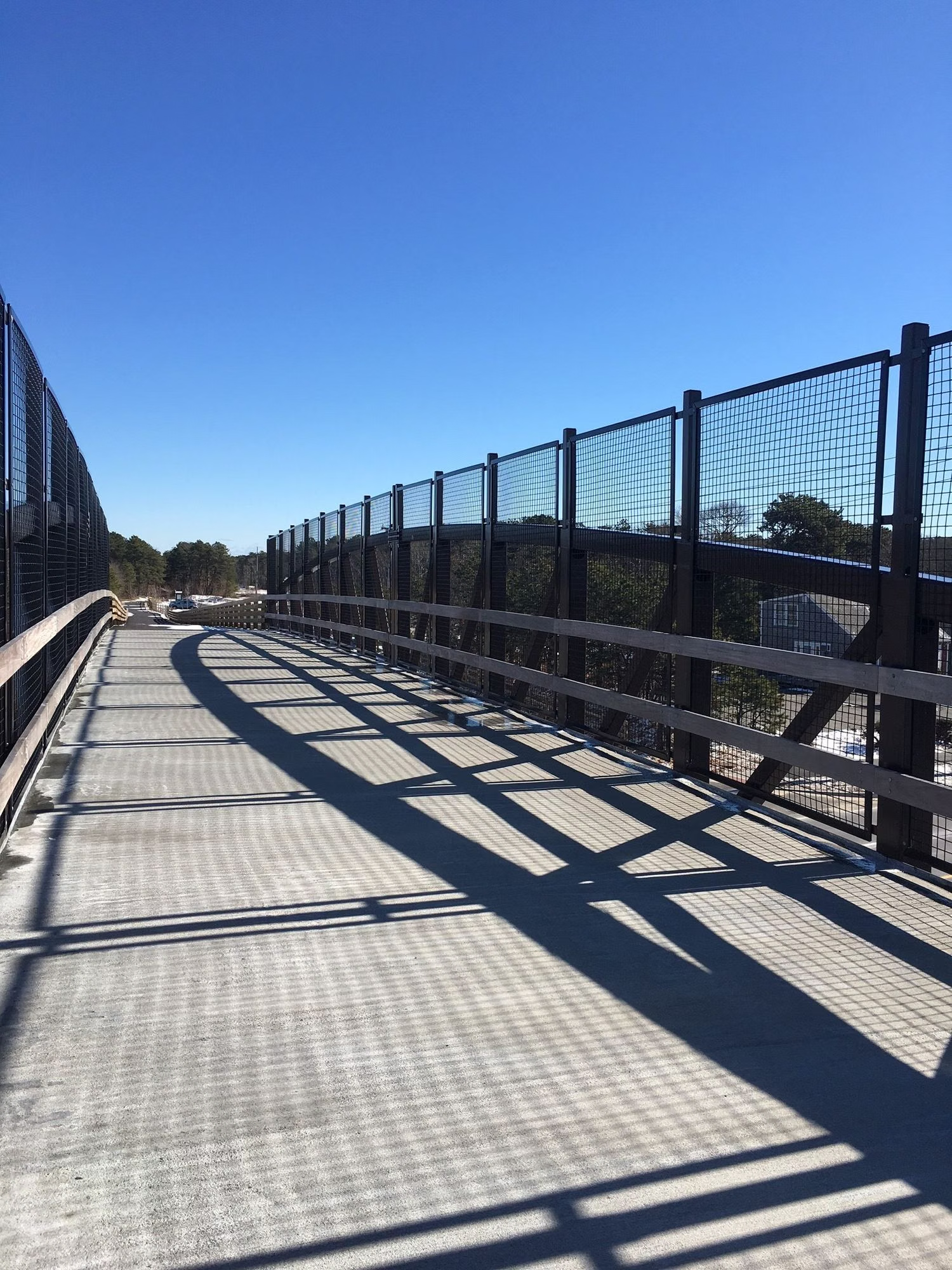
- Yarmouth and Dennis: the western start at Station Avenue, a bike bridge over the Bass River, and the old trailhead on Route 134 in South Dennis.
- Harwich: the bike rotary where the Old Colony Rail Trail branches off to Chatham, and the Headwaters Drive lot.
- Brewster: the Route 137 lot, ponds beside the trail, and Nickerson State Park with its own bike paths.
- Orleans: the trail's one short stretch on local roads, then downtown Orleans with shops and food.
- Eastham: salt marsh views, and Locust Road to the Salt Pond Visitor Center and the Nauset Bike Trail.
- Wellfleet: the Marconi area, the LeCount Hollow trailhead, and the trail's end at Wellfleet Hollow State Campground.
Getting On the Trail
Drive to a DCR lot, or rent a bike at a shop beside the trail and start from there.
By Car
Free DCR lots at Station Avenue (Yarmouth), Route 134 (Dennis), Headwaters Drive (Harwich), Route 137 (Brewster), Orleans Center, Salt Pond and Marconi (National Seashore) and LeCount Hollow (Wellfleet). See parking.
With a Rental
Several shops sit right on the trail with their own parking. See bike rentals by town.
Trail Office
DCR, Nickerson State Park, 3488 Main St., Brewster, MA 02631. Phone (508) 896-3491.
Frequently Asked Questions
How long is the Cape Cod Rail Trail?
25 to 26 miles. DCR calls it both a 25-mile and a 26-mile trail. It runs from South Yarmouth to South Wellfleet.
Where does the Cape Cod Rail Trail start?
At the Station Avenue trailhead in South Yarmouth, which has a free parking lot. The eastern end is just past LeCount Hollow Road in South Wellfleet.
Is the Cape Cod Rail Trail free?
Yes. Riding is free, and so is parking at every lot DCR lists except Nickerson State Park ($5 for Massachusetts plates, $20 for others in season).
Is the Cape Cod Rail Trail paved?
Yes, the whole trail is paved. It follows an old railroad bed, so it's mostly flat, with road crossings and a few tunnels.
Are dogs allowed on the Cape Cod Rail Trail?
Yes. DCR lists the trail as dog-friendly. Keep dogs leashed and close when bikes pass, and pick up after them.
What is the best part of the Cape Cod Rail Trail?
It depends on what you want. Brewster through Nickerson State Park has the most woods and ponds; Orleans to Eastham has marsh views and a side trip to Coast Guard Beach.
Can you walk the Cape Cod Rail Trail?
Yes. DCR lists running and walking alongside biking, skating, horseback riding and cross-country skiing. Keep right and listen for bikes.