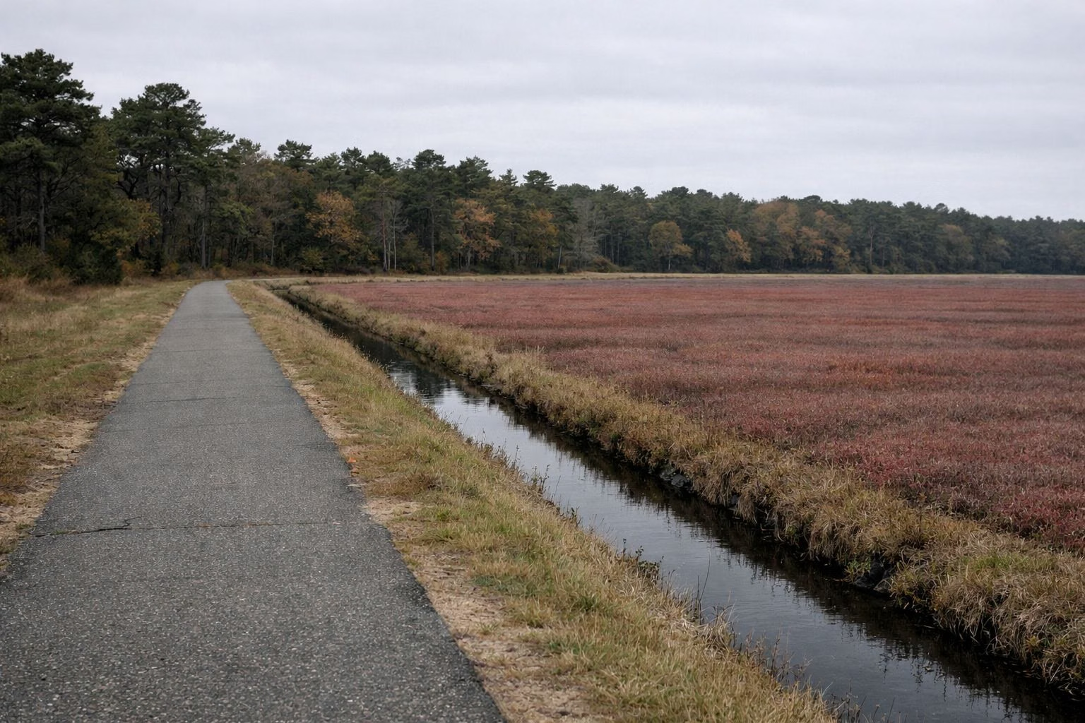
Cape Cod Rail Trail Length, Start & End
The Cape Cod Rail Trail is 25 to 26 miles long. It starts at Station Avenue in South Yarmouth and ends just past LeCount Hollow Road in South Wellfleet. DCR, which runs it, uses both numbers: its trail page calls it a 25-mile trail in one line and a 26-mile paved trail in another. The Town of Dennis says 26 miles. The trail passes through Yarmouth, Dennis, Harwich, Brewster, Orleans, Eastham and Wellfleet.
Older guides say 22 miles. That was the length from South Dennis to South Wellfleet before the trail was extended west into Yarmouth and a little farther north in Wellfleet. The National Park Service's page still gives 22 miles, and DCR's map still numbers the mile markers from 0 to 22.
The Trail by the Numbers
Distances Between Towns
Where Does the Cape Cod Rail Trail Start?
The western start is the Station Avenue trailhead in South Yarmouth, which has a free DCR lot. The trail crosses Station Avenue on a bridge and links to Peter Homer Park, where a town path continues west. The Town of Dennis describes the trail as running from Peter Homer Park to Wellfleet Hollow State Campground. Most people simply start at whichever free lot is closest; all of them are on our parking page.
Where Does It End?
The traditional eastern end is the LeCount Hollow Road trailhead in South Wellfleet, about a mile from the ocean beaches. A short newer section continues roughly a mile past it and stops at the edge of Wellfleet Hollow State Campground, where signs ask riders to turn around. There's no trail to Provincetown; the plans and what happened to them are on our trail extensions page.
Town-to-Town Distances
These distances are worked out from the mile markers on DCR's trail map and rounded. The markers start at 0 near South Dennis, run up to 22 near the National Seashore headquarters in Wellfleet, and count down past 0 into Yarmouth. Use them to plan where to turn around.
- Around marker 3: the Harwich bike rotary, where the Old Colony Rail Trail branches off to Chatham.
- Around marker 4: North Harwich.
- Around markers 9 and 10: Brewster and East Brewster, then Nickerson State Park just past 10.
- Between markers 12 and 13: the trail's one short stretch on local roads, crossing over Route 6 in Orleans.
- Around marker 13: Orleans Center. Marker 14 is near the Orleans rotary.
- Between markers 16 and 17: Locust Road in Eastham, the turn for the Salt Pond Visitor Center.
- Around marker 19: North Eastham. Marker 21 is near the National Seashore headquarters in Wellfleet.
The Old Colony Rail Trail adds 8 miles from the Harwich rotary to Chatham. Nickerson State Park adds about 8 miles of its own bike paths; see Nickerson State Park.
How Long Does It Take to Ride?
DCR sets a 15 mph speed limit. At a relaxed 10 mph, the full trail one way is about two and a half hours of riding. Most people don't ride it end to end and back, which is 50-plus miles. A ride of 10 to 20 miles round trip from a central lot is a full morning with stops.
Walking is slower: about 3 miles an hour, so a walk from one lot to the next and back is a two- to three-hour outing.
Best Sections for a Shorter Ride
DCR doesn't rank sections, so this is about what's on each stretch rather than a verdict:
- Brewster to Orleans, through Nickerson State Park: the most woods and ponds, and the park's paths as a side loop.
- Orleans to Eastham: salt marsh views north of Orleans, and the Nauset Bike Trail to Coast Guard Beach as a detour.
- Harwich rotary to Chatham: the Old Colony Rail Trail, quieter than the main trail and ending in Chatham center.
- South Dennis to Yarmouth: the Bass River bike bridge and the newest pavement, but more roads and businesses nearby.
Is the Trail Flat?
Mostly. It follows an old railroad bed, so grades are gentle. The National Park Service calls it relatively flat but notes busy road crossings and several tunnels. The real effort on the Cape is wind, not hills, especially on the open stretches near the marshes.
The Official Map
DCR's printable map shows every mile marker and lot. How to read it is on our trail map page, and the current details are on DCR's page.
Length and Mileage FAQ
How long is the Cape Cod Rail Trail?
25 to 26 miles. DCR describes it both as a 25-mile trail and as a 26-mile paved trail, from South Yarmouth to South Wellfleet. Older sources say 22 miles, its length before the Yarmouth extension.
Where does the Cape Cod Rail Trail start and end?
It starts at the Station Avenue trailhead in South Yarmouth and ends just past LeCount Hollow Road in South Wellfleet, at the edge of Wellfleet Hollow State Campground.
How long does it take to bike the whole Cape Cod Rail Trail?
About two and a half hours one way at an easy 10 mph, without stops. A round trip is 50-plus miles, so most riders do a section instead.
Does the Cape Cod Rail Trail go to Provincetown?
No. It ends in South Wellfleet. Provincetown has its own Province Lands Bike Trail, run by the National Park Service, but there's no trail between them.
Does the Cape Cod Rail Trail go to Chatham?
Not directly. The Old Colony Rail Trail branches off at the Harwich bike rotary and runs 8 miles to Chatham.
Are there mile markers on the Cape Cod Rail Trail?
Yes. DCR's map numbers them from 0 near South Dennis to 22 in Wellfleet, counting down past 0 toward Yarmouth.